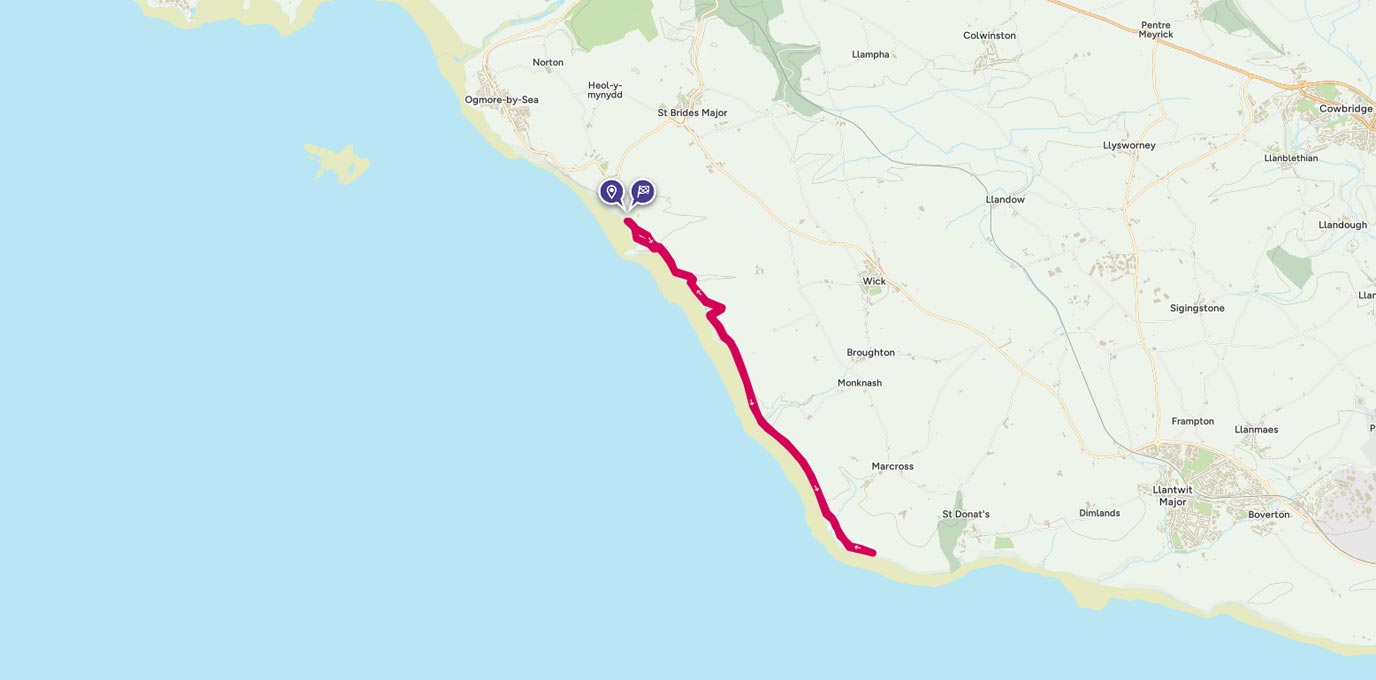
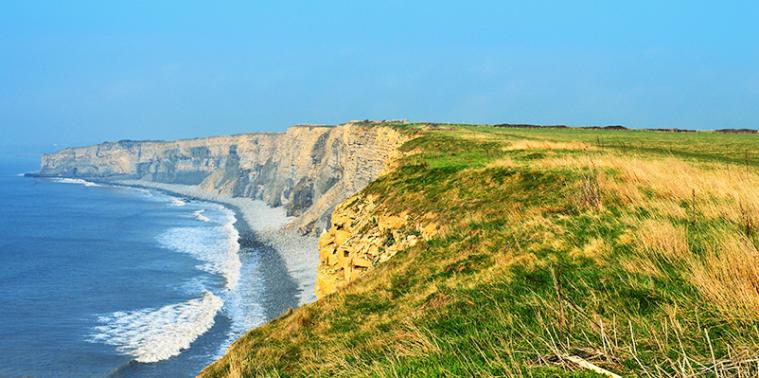
Glamorgan Heritage Coast stretches for 14 miles along the South Wales coast. Starting at Ogmore by Sea, to St Athan in the east, following the Wales coastal path.
SS 88522 73137
The views along the coast are spectacular. The high dramatic cliff faces dominate the shores and the beaches are separated by the headlands. On the headland of Dunraven Bay are the remains of Dunraven Castle. There is not much structure left of the 12th century castle, however it is still an interesting and picturesque area to visit. The castle’s walled garden is still intact and open free of charge to the public. There are information boards on the hill fort and in the gardens, explaining the history of this area.
The Dunraven Historic Walled Gardens are open daily all year round. They are free of charge to enter, just a short walk from Dunraven Bay car park and are also dog friendly. There are three walled sections within the gardens, planted with seasonal shrubs, trees and flowers. The Edwardian glass house and ice tower is still intact.
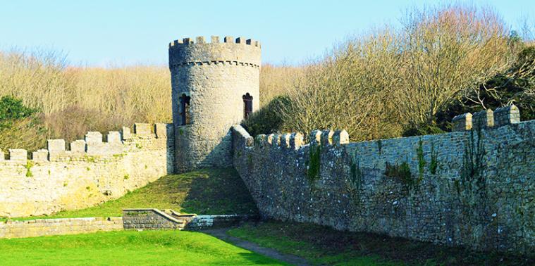
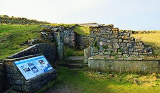
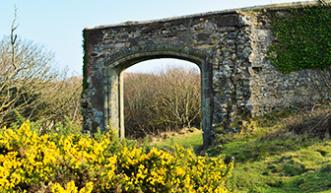
From the car park, head towards the stone building with the large wooden gates. Once through the gates follow the concrete path up to the walled gardens. There is an option to walk through the gardens or follow the path along side. Personally I’d opt for the walk through the gardens. It’s an interesting step back in history and also very beautiful.
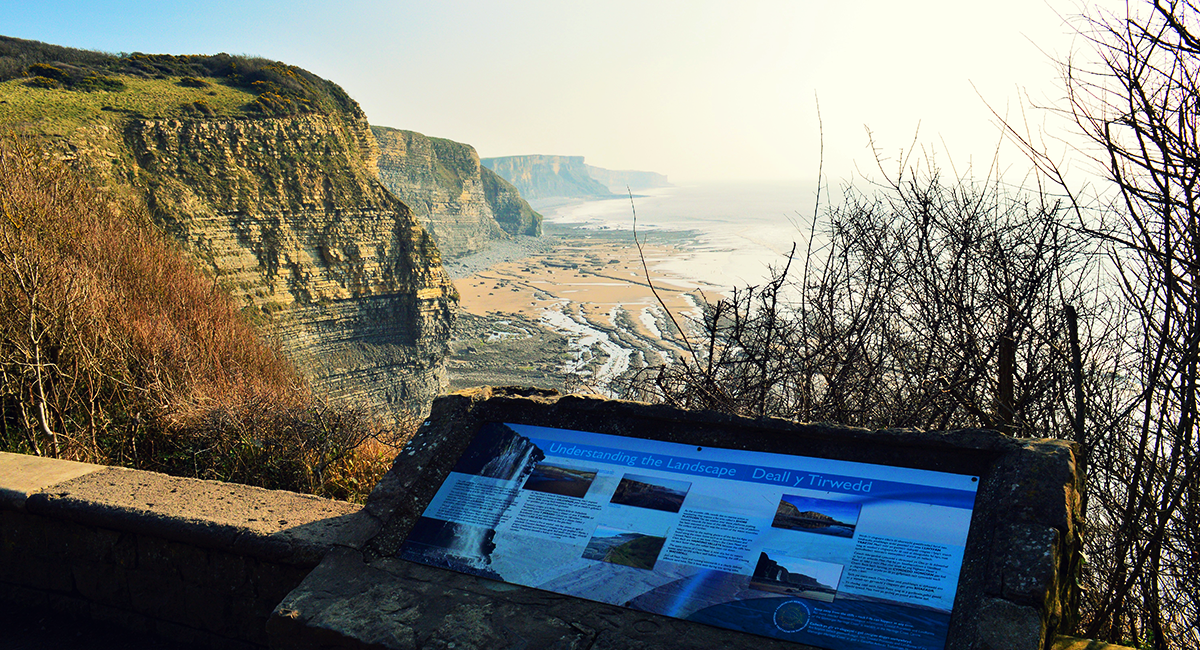
Whichever route you decide to take, you will reach a viewing area overlooking a bay. There is an information board explaining the geology of the cliffs and bay.
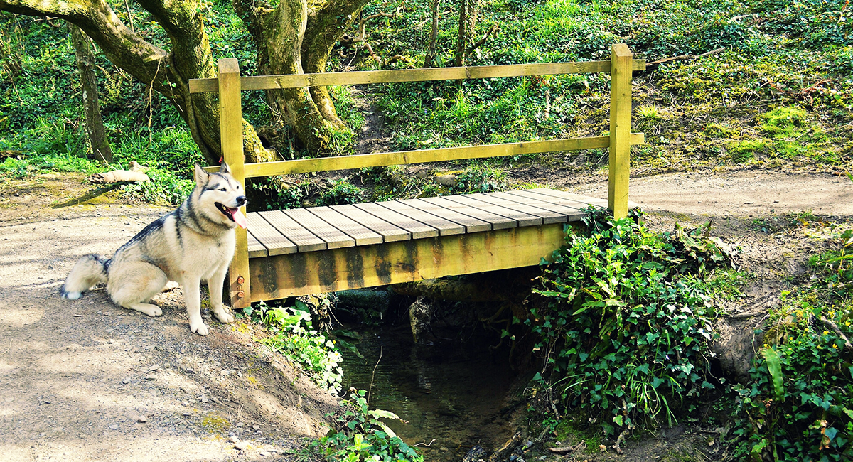
Take the path which leads you up a short hill and you will arrive at a gate. Once you are through the gate the path levels for a short while. The next short decent on the costal path takes you to a stream, cross the wooden bridge then it is a sharp ascent on the other side.
The coastal path levels again and takes you through fields, but still close enough to the cliffs for breathtaking views.
After two miles following the coastal path and taking in the beauty of the beaches below, the path drops down into a small valley. There is another stream with a wooden bridge.
Take the coastal path up the other side where there is a cliff top cafe and a view point. You can now see the lighthouse up ahead.
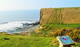
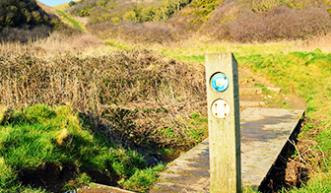
You have the option here to either continue to the lighthouse alongside the cliffs, or on the concrete road.
Once you reach the gate of the lighthouse grounds, you will see the coastal path sign and the old lighthouse keepers cottage. Continue through the gates and around the corner of the lighthouse cottage, you will see the 19th century lighthouse.
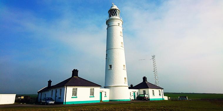
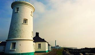
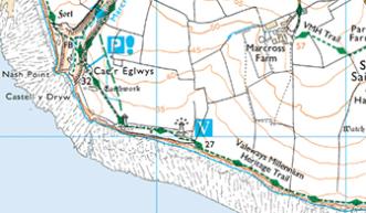
The light house visitor centre is open to the public and there is a charge to go inside. But the grounds are free for you to walk around. The cliff top cafe is an ideal spot to have a rest and a bite to eat before returning back along the coastal path. Follow the path back along the route you came. Once you are back at the viewing platform at the walled gardens, take the path to your left up onto the hill fort to see the remains of Dunraven castle.
SS 92132 68032
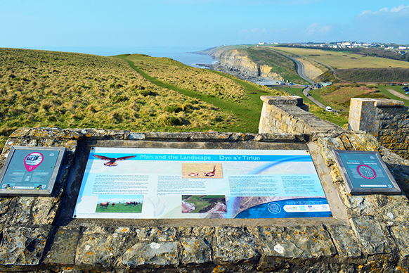
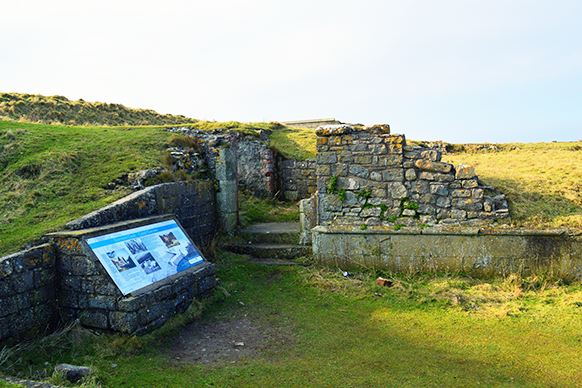
It is then follow the well defined path, back down the side of the hill fort, back to the car park. Take care descending the hill. It is quite steep, but it is firm underfoot.
By Tracy Purnell
Tracy Purnell – OS Champion
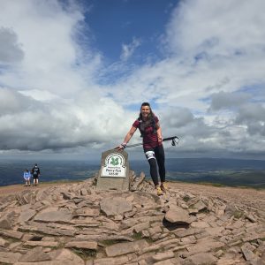
Meet OS Champion Tracy Purnell – dog lover, trail runner and Brecon Beacons National Park Ambassador.
