HUGE SUMMER HIKING SALE!
Peak Week is back! Celebrating a summer of getting outside and into the fells and mountains of the British Isles (whatever the weather!)
Outsiders Peak Week is Ordnance Survey’s biggest sale of the summer with huge deals on top walking and hiking brands. Would you like every deal sent straight to your inbox next week? You’ll get a daily email with 24 hours to take advantage of the discount before the offer ends. When it’s gone, it’s gone. Click the button below and we’ll make sure you get every deal.
Get Into Hiking with Ordnance Survey this Summer!
If your hiking boots have been gathering dust in the garage for years, or if you’ve lacked the confidence to try hiking but you’re itching to go a bit further afield than your usual neighbourhood stroll, our inspiring articles can guide you.
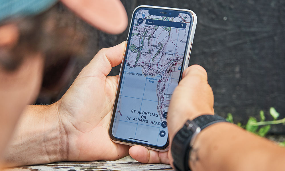
As part of the peak week celebrations you can find out how to use the OS Maps App to discover the best hiking routes and we’ll give you important advice on how to stay safe in the hills and mountains of the British Isles. You can also read our Peak Week essential hiking gear guides so you and your family and friends can fully enjoy the great outdoors this summer, whatever the weather.
Share Your Hiking Adventures #ordnancesurvey
Ordnance Survey is Great Britain’s national mapping agency, we are the experts in getting people outside. Join us this summer for an epic adventure in the hills and mountains of the British Isles! Tag us in your adventures @ordnancesurvey for your chance to be featured.
Look out for big deals on these brands!

Find Your Next Hiking Adventure!
Discover step-by-step illustrated route guides written by our OS Champions and hiking industry experts. Use the toggle below to select a location near you.
For additional inspiration, visit OS MAPS to explore thousands of routes curated by Ordnance Survey endorsed experts and community members. You’ll find plenty of ideas for your next hiking adventure, and you can begin recording and planning your own routes using all the easy to use mapping tools that OS Maps provides.
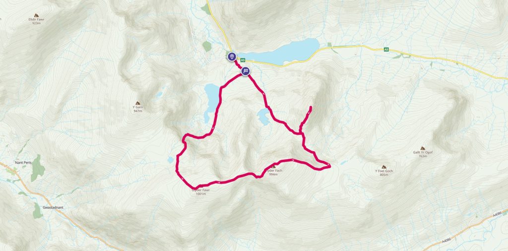
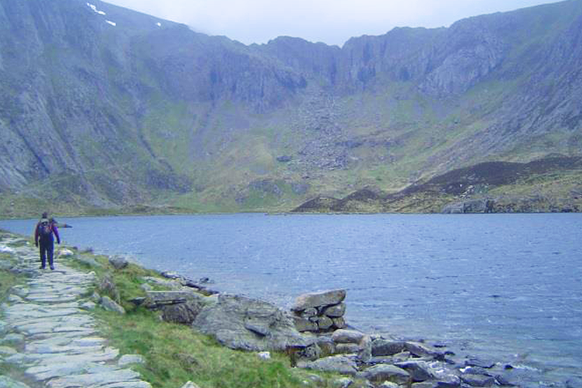
Glyderau Circular Walk Including Tryfan
Where else can you go where you can bag 3 of the huge Welsh 3,000 foot peaks, visit places called The Canon, Cantilever Stone, Devils Kitchen or the magnificently titled Castle of the Wind, enjoy an ending worthy of any Hollywood blockbuster and all this and never be further than 1.5 miles away from the car park.
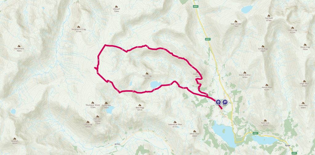
A High Raise round from Grasmere
A walk from Grasmere up to the High Raise summit and trig pillar, the highest point in the Central Fells with commanding views of the whole Lake District.
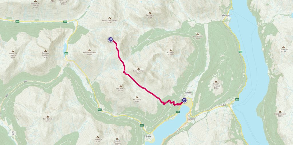
Munro bagging: Beinn Ime
Start exploring the Munros with this 9 mile walk around the highest point, Beinn Ime.
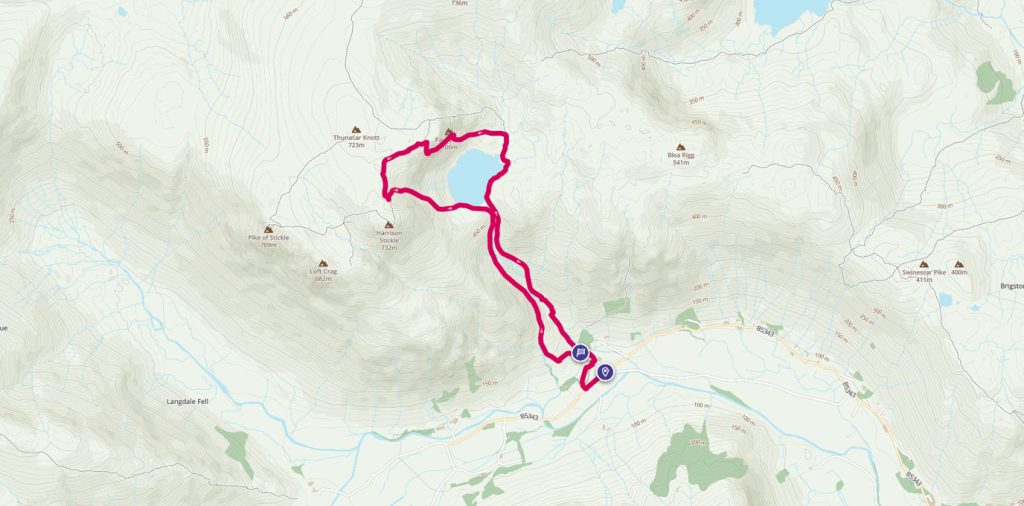
Jack’s Rake Scramble
Jack’s Rake is a brilliant grade 1 scramble in the stunning Langdale area of the Lake District, with potential for something more for those looking for a bit of a bigger thrill or an extended adventure.
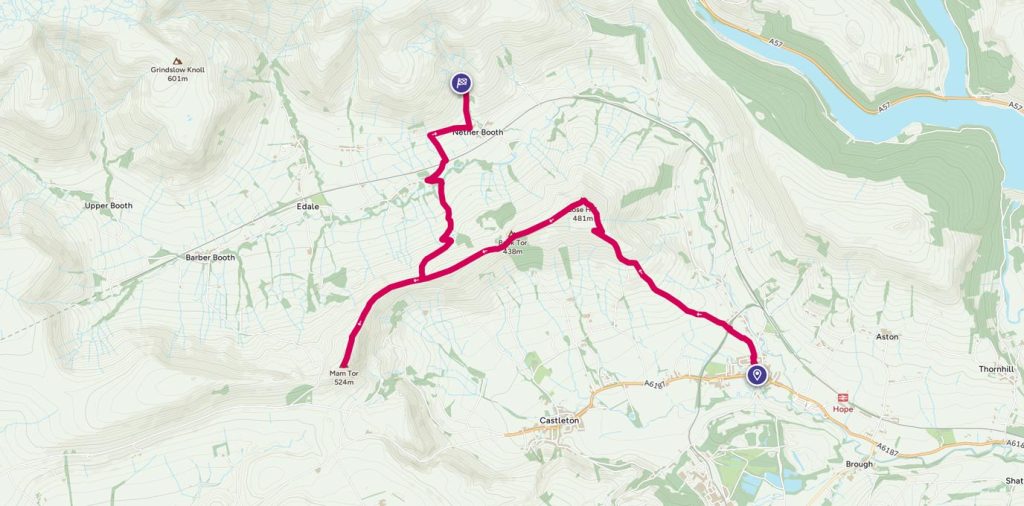
Car-free peaks in the Peak District
Public transport accessible walk taking in two peaks – Lose Hill and Mam Tor. Sweeping views, ig, rocks for fun photos, possible pooh sticks and the option to descend to Edale village for refreshments. With well-marked paths and mostly steady grades this walk shows off the best of the area. Public transport available at both ends, or park in Hope and retrace your steps from the Mam Tor summit.
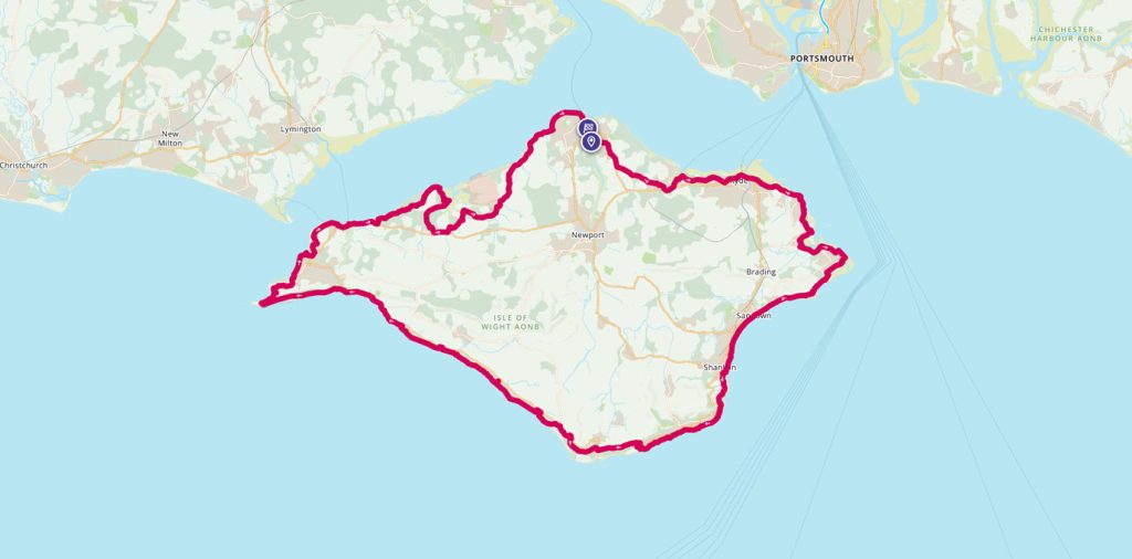

Isle of Wight Coastal Path
The Isle of Wight Coastal Path is a 70-mile waymarked walk which goes around the whole island. It hugs much of the coastline and can easily be split into shorter sections. Helen from the OS Team shares her experience of running the route in a day.

