UK Route Guides – Get Inspired & Get Outside
Discover great outdoor activity ideas and detailed uk route guides from OS Maps to follow. Inspiration for finding new UK hiking routes, running trails, cycling routes and even your next paddle adventure.
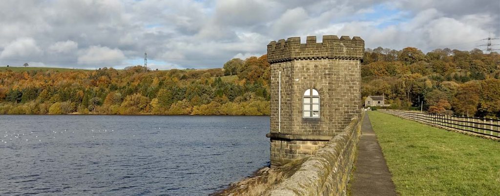
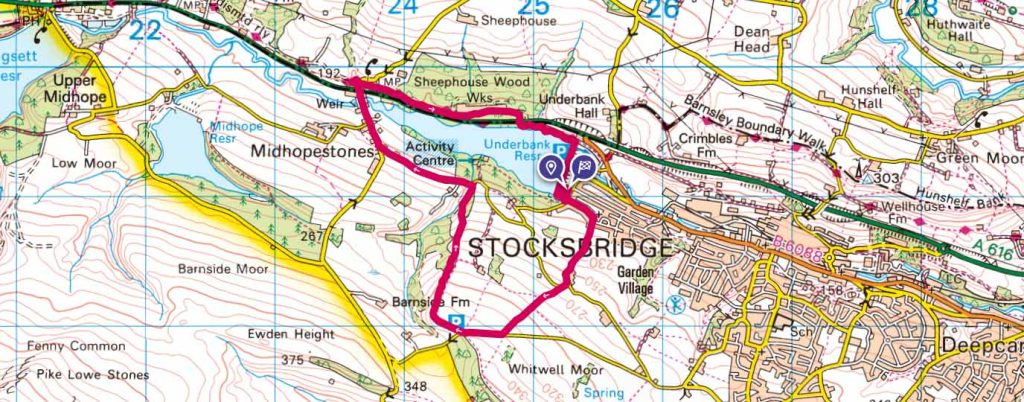
Stocksbridge and the Underbank Reservoir, South Yorkshire
South Yorkshire Route Guide: An easy loop under 5 miles around Stocksbridge and the Underbank Reservoir.
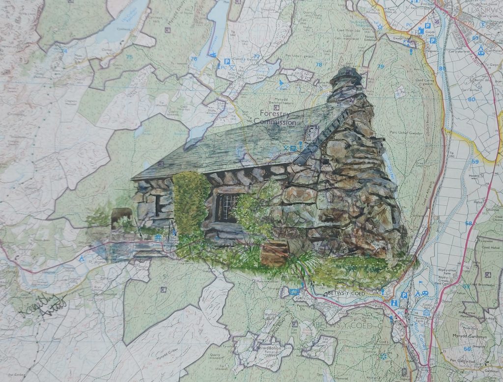

Moel Eilio Route Guide with The Rambling Artist
Moel Eilio, a small peak in the Carneddau mountain range of Eryri, Snowdonia. The route is bought to us by Sharon Whitely, The Rambling Artist

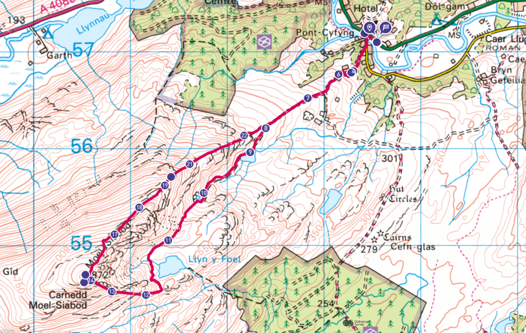
Moel Siabod via Daear Ddu Ridge
Moel Siabod via Daear Ddu Ridge Route Guide- the only summit that you can see 13 of the 14 Welsh 3000’s from!

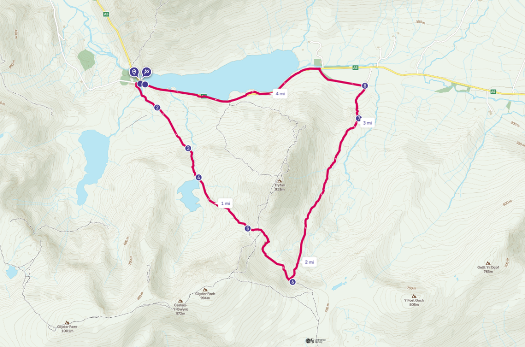
Cwm Tryfan Circular Walk – Ogwen Valley
Cwm Tryfan Circular Walk in the Ogwen Valley, perfect for short days or with kids
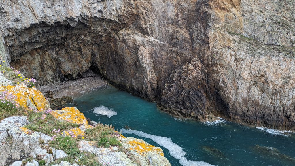

Mynydd Twr (Holyhead Mountain) Circular Walk with South Stack and North Stack
Mynydd Twr (Holyhead Mountain) circular walk with south stack and north stack included
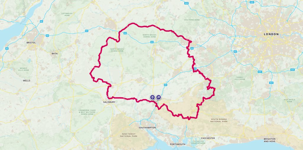
Cycling King Alfred’s Way
The King Alfred’s Way is a 350km circular off-road cycling route that will take you back in time. Combining beautiful rural scenery with some of Britain’s most iconic historic sites and four National Trails this ride makes a great bikepacking adventure.
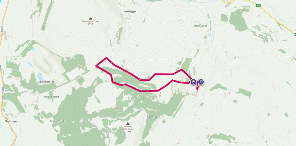
Hutton Roof Crags
Hutton Roof Crags is a lesser walked area in Cumbria. Rory Southworth takes us through a remarkable hillside littered with limestone pavement.
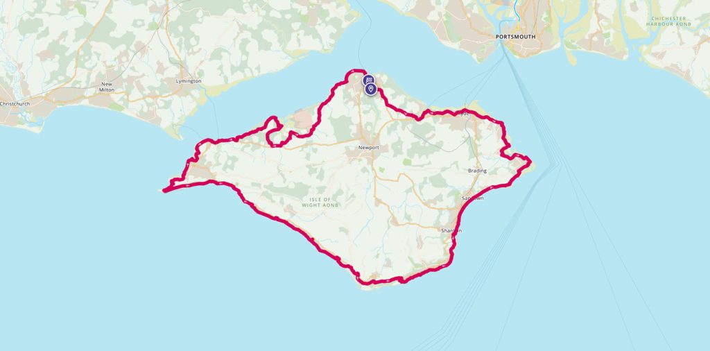

Isle of Wight Coastal Path
The Isle of Wight Coastal Path is a 70-mile waymarked walk which goes around the whole island. It hugs much of the coastline and can easily be split into shorter sections. Helen from the OS Team shares her experience of running the route in a day.
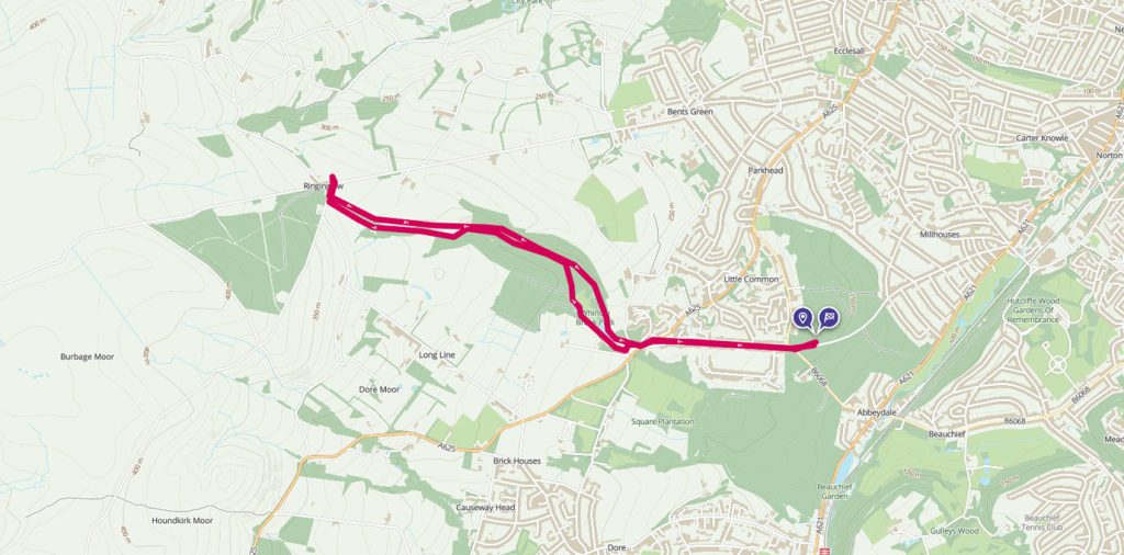
Limb Valley – a hidden woodland walk
Be sure you’re winter-ready for your next chilly hike. GetOutside Champion Jessie Leong shares her top tips, plus a Limb Valley woodland route that’s not to be missed this winter season.