As a child, I spent so many evenings after school having picnics and rowing around Lulworth Cove in a dinghy with my parents. I walked across Lulworth Ranges to Worbarrow Bay regularly and so it’s safe to say I have grown up with a love of the area.
SY 973 777
As a teenage Sea Cadet, I took part in my silver Duke of Edinburgh Award, and for the expedition aspect we headed to the Isle of Purbeck, famous for being home to Corfe Castle and some of the most beautiful views of the Dorset coastline.
One part of this route stands out in my head today. The steps near Chapman’s Pool. We had to walk them as part of our route and they gained notoriety among our group, known now only as ‘THE steps’.
It just so happens that this is my favourite part of the SW Coast Path, and so I took my mum and stepdad on a walk!
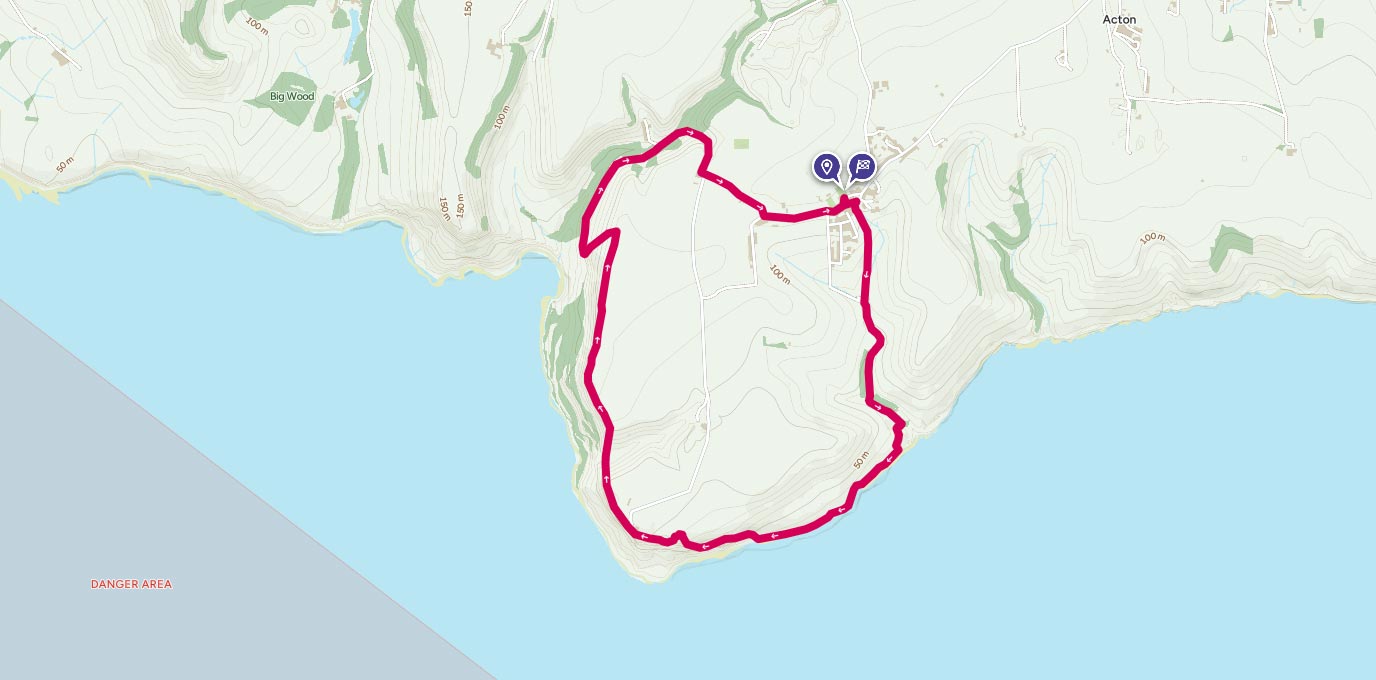
The best place to start and end this walk is in the village car park in Worth Matravers. We couldn’t do that on this occasion as it was full, so found parking on the road by the pond (this is not available between May and September).
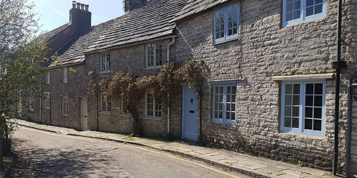
Turn right from the car park and head in to the village, the Square and Compass Pub will be on your left. When you reach the village pond, follow the lane below it past a row of very pretty, terraced houses.
Bear slightly to the left and the path is fairly obvious, so follow it until you reach a gate and then head through the field. You’ll reach another gate, pass through this and continue on the gravel track past Winspit Cottage. The path from here is easy to follow and takes you right down to the sea and quarry.
If you want to head in to the quarry and watch people rock climbing, or just look around the remnants of buildings, veer left. If not, head right where the path forks and up on to the cliff top.
There is a SW Coast Path Marker for St Aldhelm’s Head here so you can’t miss it!
It’s a short but steep climb to the top, but there’s a bench at the top with some fantastic views. Perfect for a cup of tea break…
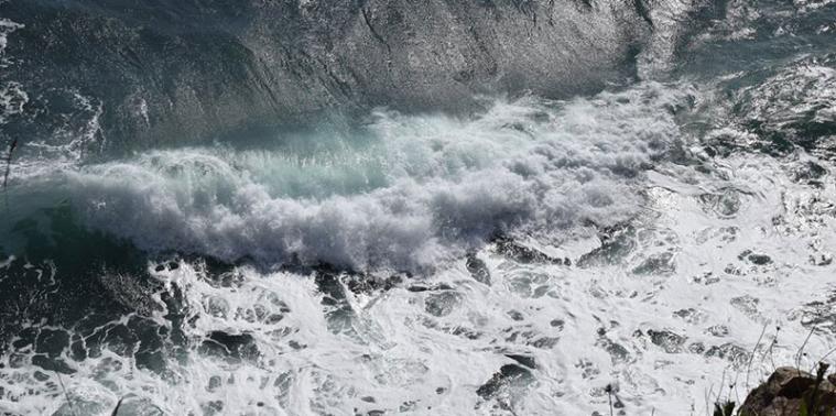

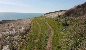
We followed this path for around a mile, watching the beautiful blue sea crashing in to the rocks below… Some of us getting a little too close to the edge perhaps in search of a great photo!
After a while you will reach another fork in the path. At this point, you can either head left, down in to a dip in the cliff, with some old bunkers and building remnants, or up and across the top, past the monument to WWII radar development.
At St Aldhelm’s Head you also have the National Coastwatch Insitution, to which visitors are welcome, and also St Aldhelm’s Chapel. James Blunt fans may recognise this from the music video for Carry You Home.
Continue to follow the Coast Path markers.
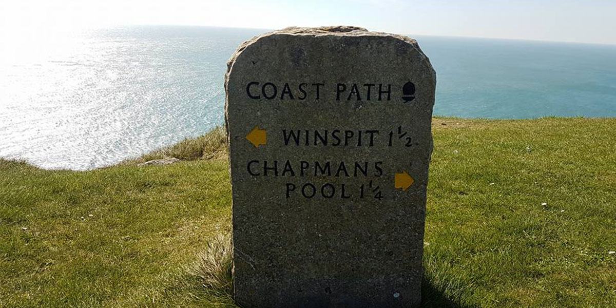
From St Aldhelm’s Head, there are 2 options.
For the more sedate option (avoiding two sets of very steep steps) fork right, towards the coastguard cottages and follow the flatter path around to Chapman’s Pool.
For the more adventurous route, head out along the cliff path once more, past more benches with stunning views across the Purbeck coastline until you reach the steps. They are fairly steep and will need to be taken one at a time, unless you have super long legs (I, unfortunately do not).
The steps are quite muddy, so exercise caution in wet weather.
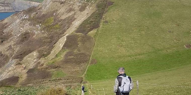
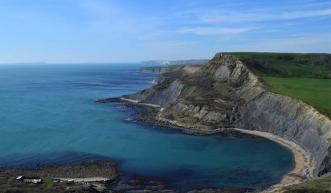
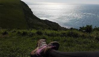
Head up the steps opposite and then you’ll be rewarded with another stunning view.
Follow the path around and you will be able to see all the way over to Portland on a sunny day, we could just about make out the lighthouse at Portland Bill.
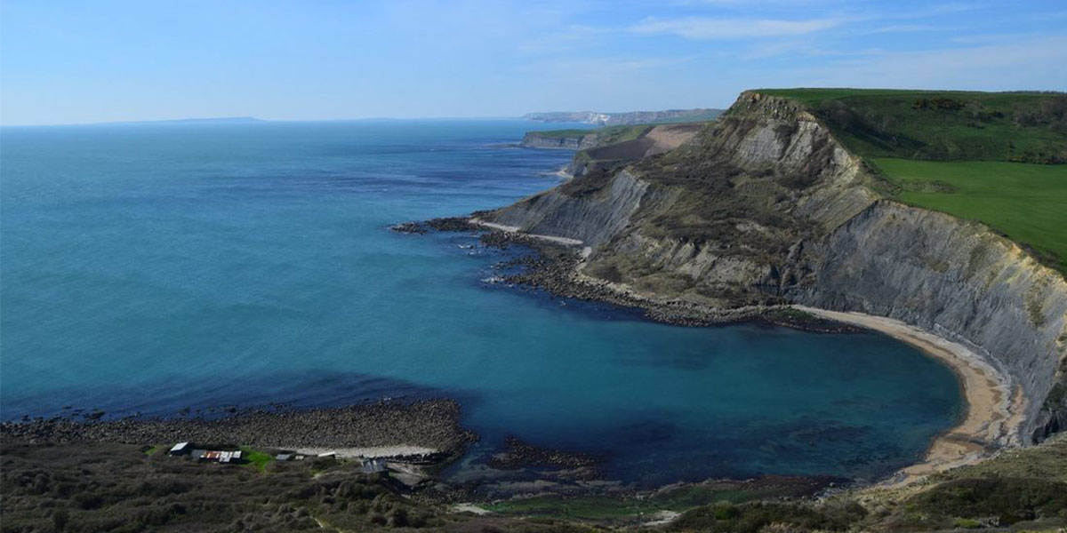
Cross a stile and follow the rocky path around in to another field, where you will have the most amazing view of Chapman’s Pool. The path continues uphill across the valley.
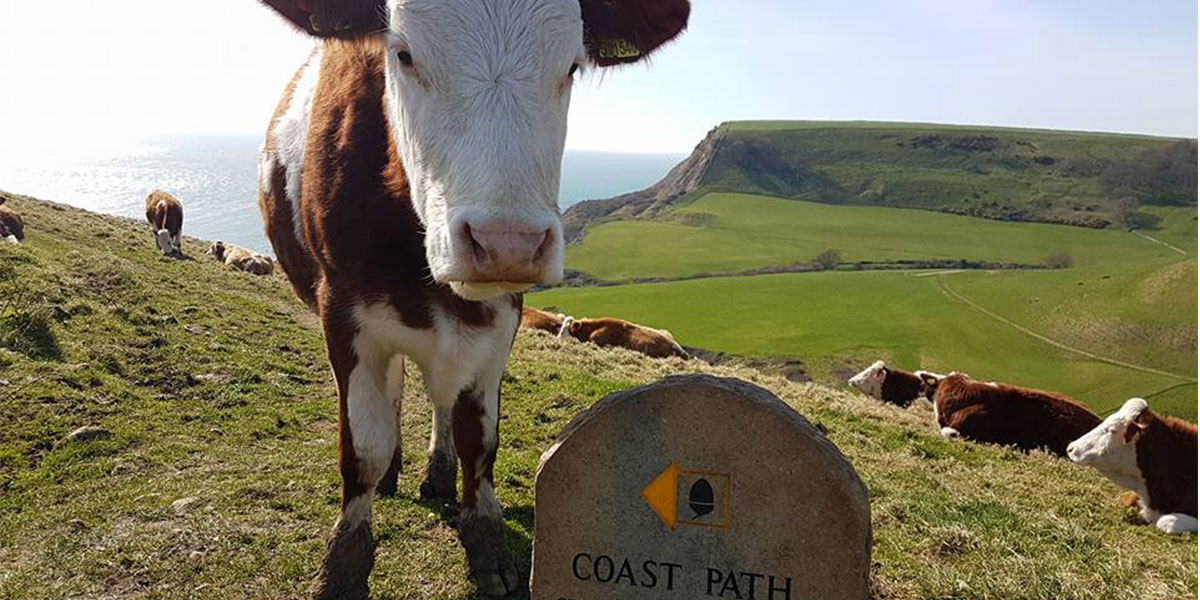
We were met with some friendly cows en route who seemed very interested in my camera!
Cross another stile and head over a rocky path through a field over to a farm. On the road, it’s signposted Worth ¾. Pass the car park at Renscombe Farm and turn right to head along the road to Worth Matravers with the pond on your right, back to the car park.
If you have time, head in to the Square and Compass and check out the small fossil museum within the pub. Full of interesting things found along this part of the Jurassic Coast.
7.5K SY 973 777
8 km / 5 miles
