#GetOutside Champion, Stef Jackson-Horner, knew that a big white wedding wasn’t for her and her fiancé; what they wanted was a walking wedding. Find out how the big day went and how you go about preparing for such an event in the British outdoors!
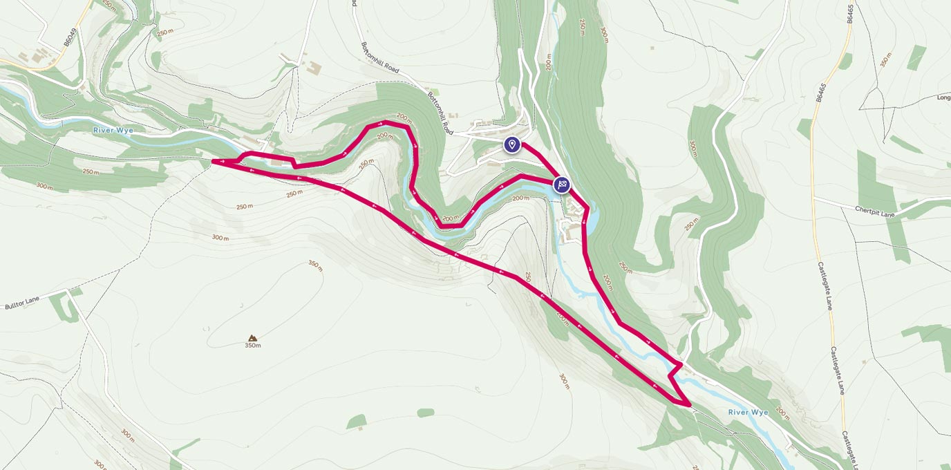
SK 170 730
So this is how it goes; romantic proposal, year or two of planning = big white wedding, right?! Wrong!
Think more of a nice family Sunday stroll along the Monsal trail in Derbyshire and you have our wedding.
Everything about my life is outdoors and active so I knew when my boyfriend (now husband, yay!) proposed a traditional wedding wasn’t really on the cards. The proposal itself was pretty ‘outdoorsy’ a 10k treasure hunt that saw me following clues, finding tinsel (it was on boxing day), answering questions to lead me to him on the top of the highest point in our village. This in my eyes was perfect, it was personal to me, he might have found the idea on the internet but boy had he ran with it. Literally! It was in the hill around the village I grew up in, in the peak district that I love and it was active! Perfect in all ways.
However it set the standard for the wedding…
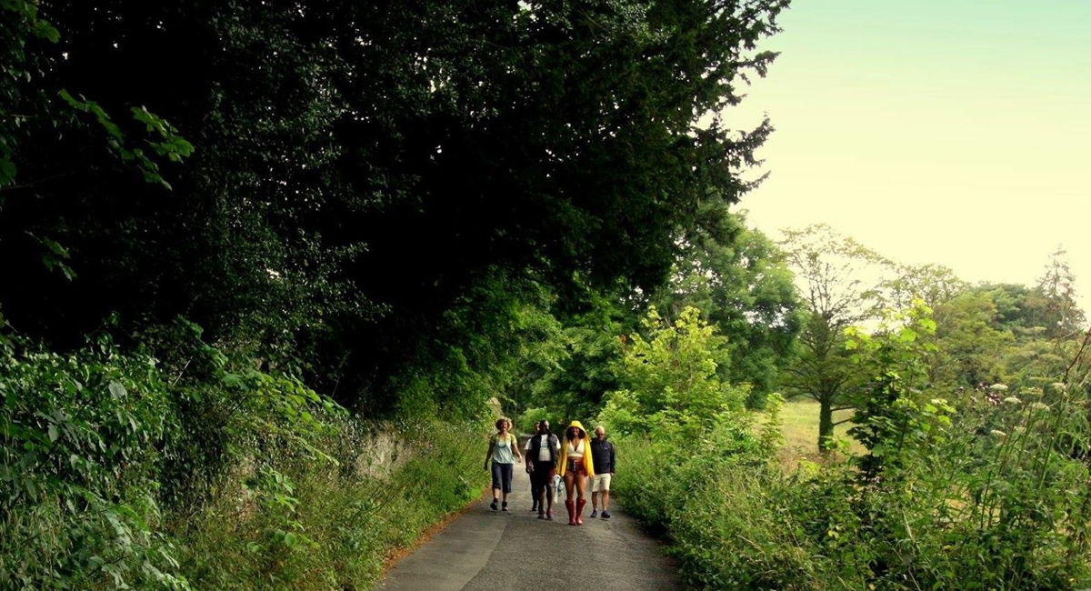
A walking wedding in the Peak District
2.0 km – SK 174 722
I knew I wanted the wedding itself to follow suit and be, well, ‘us’, after exploring the ‘normal’ options we thought we could tweak it was inevitable if we were going to bend the rules we should completely smash them. That mind set opened so many doors, there wasn’t anything we couldn’t do or include.
And so it was set the venue was to be the peak district, the whole massive lot of it! After lots of trial walks, we plumped for a circular route starting and ending at Cressbrook, taking in a section of the Monsal trail and a lovely river stretch. Having decided our friends would marry us, we would write the service ourselves and would design a treasure hunt for guests to enjoy along the route. It was just the small matter of where would the service actually take place.
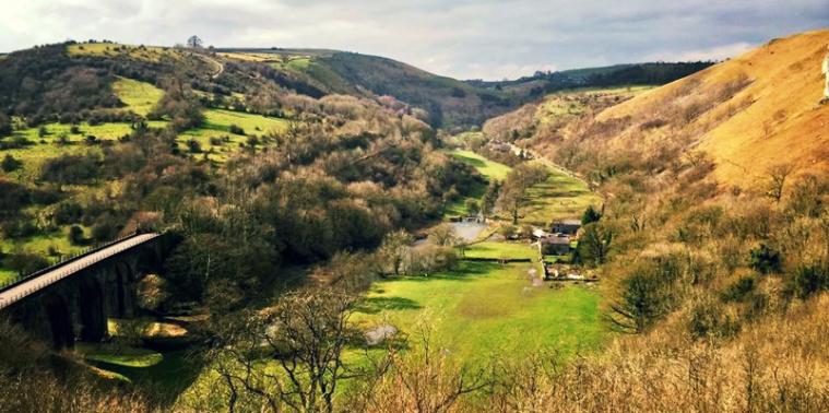
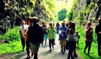
A Peak District walking wedding
3.25 km – SK 163 728
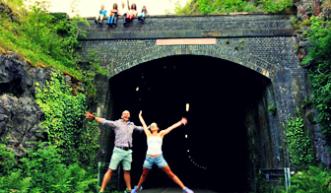
The viaduct that can be seen from Monsal head seemed an obviously choice, a powerful stunning back drop would be perfect however this is England it is most likely to rain…a lot. So with the interest of our guests in mind we plumped for a dark, damp tunnel, Litton tunnel to be exact.
It was amazing!!
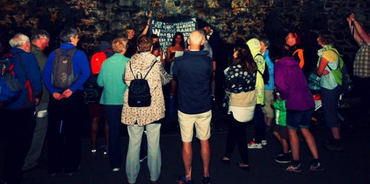
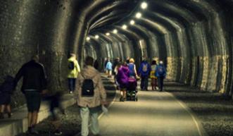
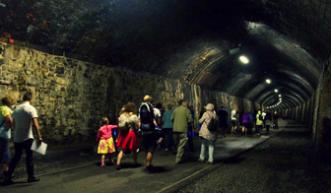
A wedding ceremony in the Litton Tunnel
All our guests completed the route, even little and old legs in buggies and wheelchairs came along too; they loved the treasure hunt. On the entrance to the tunnel those marrying us pulled out their scripts and handed out glow sticks to add a twinkly romantic glow and we headed to the middle. Here the service flowed similar to it would have done being in our local church, we both read the vows we had written and the best man handed over the rings for us to exchange. It was incredible. After the service we finished off the walk along the River Wye.
A perfect wedding in an amazing setting and the best part is that it was on a walk!
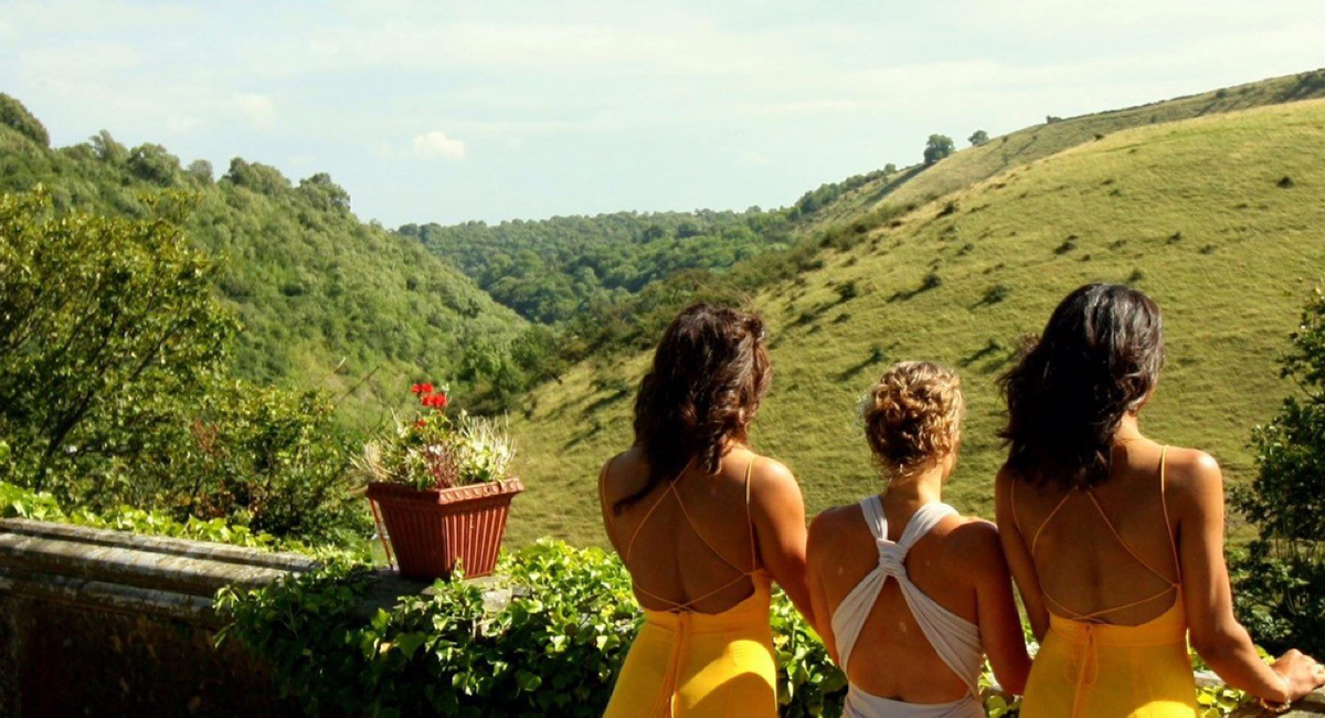
Relaxing after the wedding ceremony in the Peak District
5.7km SK 172 728
5.7 km / 4 miles
