One of the toughest (and also most spectacular) long distance walks is the Cape Wrath Trail in the Scottish Highlands. Gilad Nachmani has advice for anyone planning on taking on the last British wilderness.
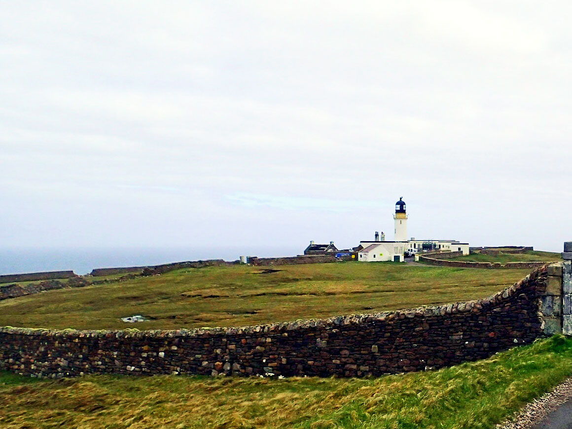
The Cape Wrath Trail (CWT) has a deceiving name: it is actually not a trail, but a route, running the length of the Scottish Highlands between Fort William in the south and Cape Wrath in the north. It is a long distance trail that covers 200-250 miles (320-400 km) and can be walked in one go over 10-30 days (or run in 8 days…), but it can also be a great section hike, being done in stages over long weekends, coming back to meet the trail at various times.
The CWT is not a new concept, but it was first named and suggested by David Paterson in a 1996 book about the route. Over the years since, several guides have been written and a number of suggested variations of the walk itself have been introduced. The CWT can still be walked in any way you would like, but has, in general, roughly followed the route suggested by Denis Brook and Phil Hinchliffe since they proposed it in 1999.
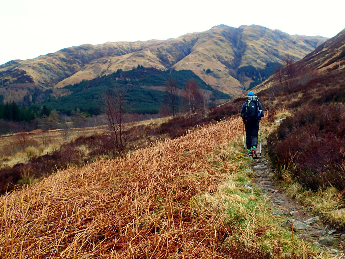
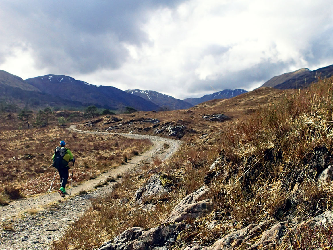
Many describe the CWT as the hardest (or toughest) route in the UK, but I think it is not the route that makes it hard – it is the setting it is in. The CWT is, mostly, a non-technical walking route that includes no high peaks and only has short and simple trackless sections that require navigational skills. The real challenge with the CWT is that it crosses the Scottish Highlands: one of the last wild areas in the British Isles. For that reason I would call it the most challenging and demanding route in the UK, one that very few people see to completion.
Taking on the Cape Wrath Trail
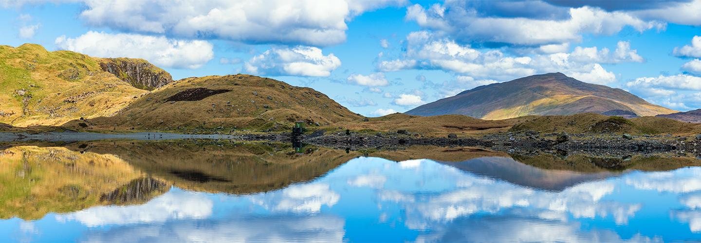
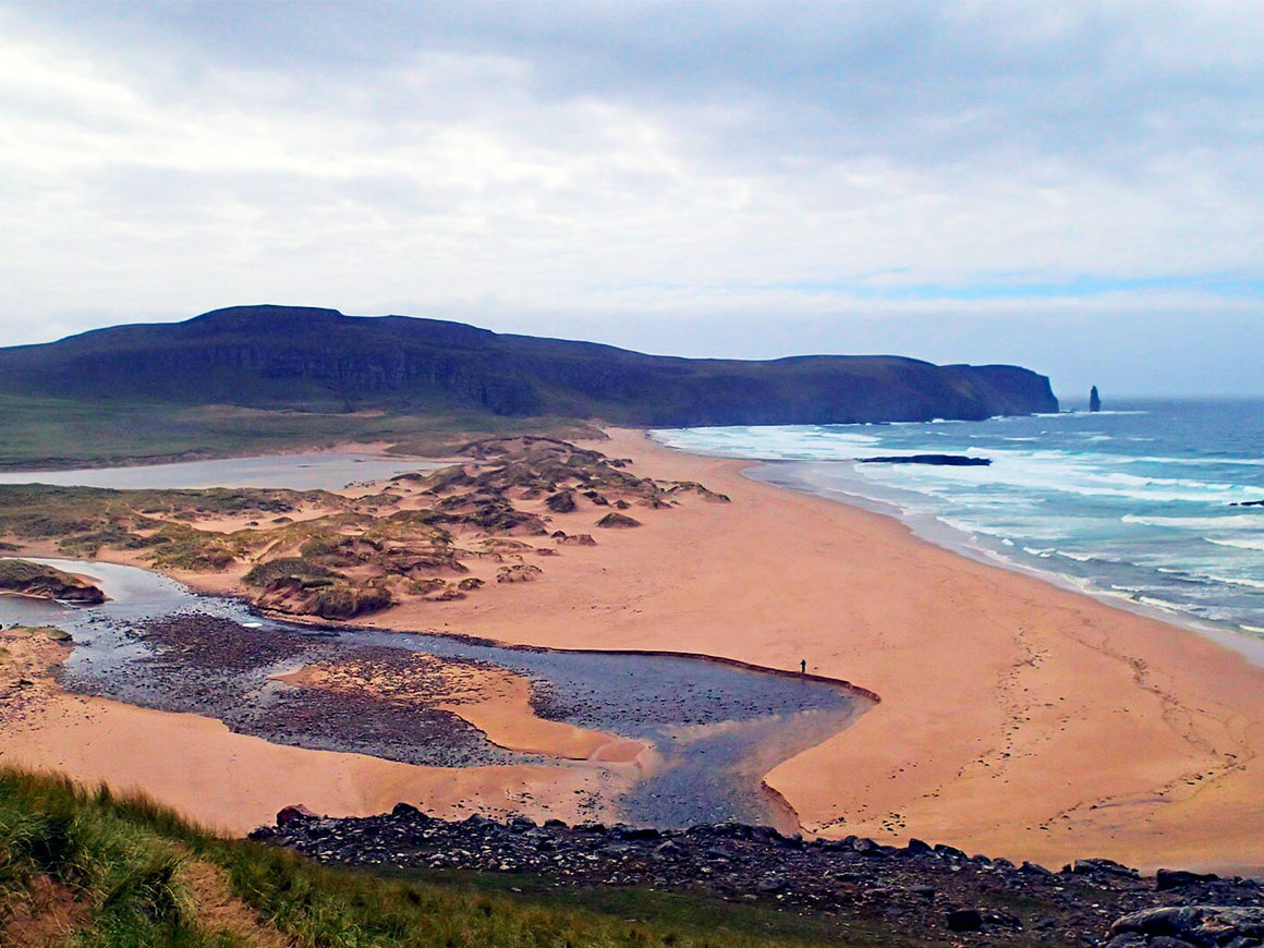
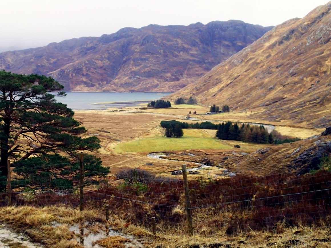
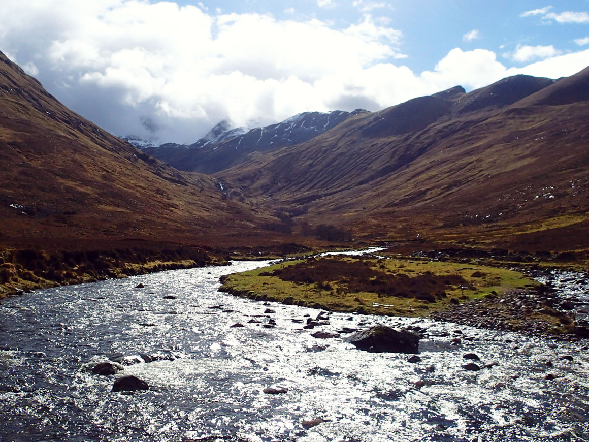
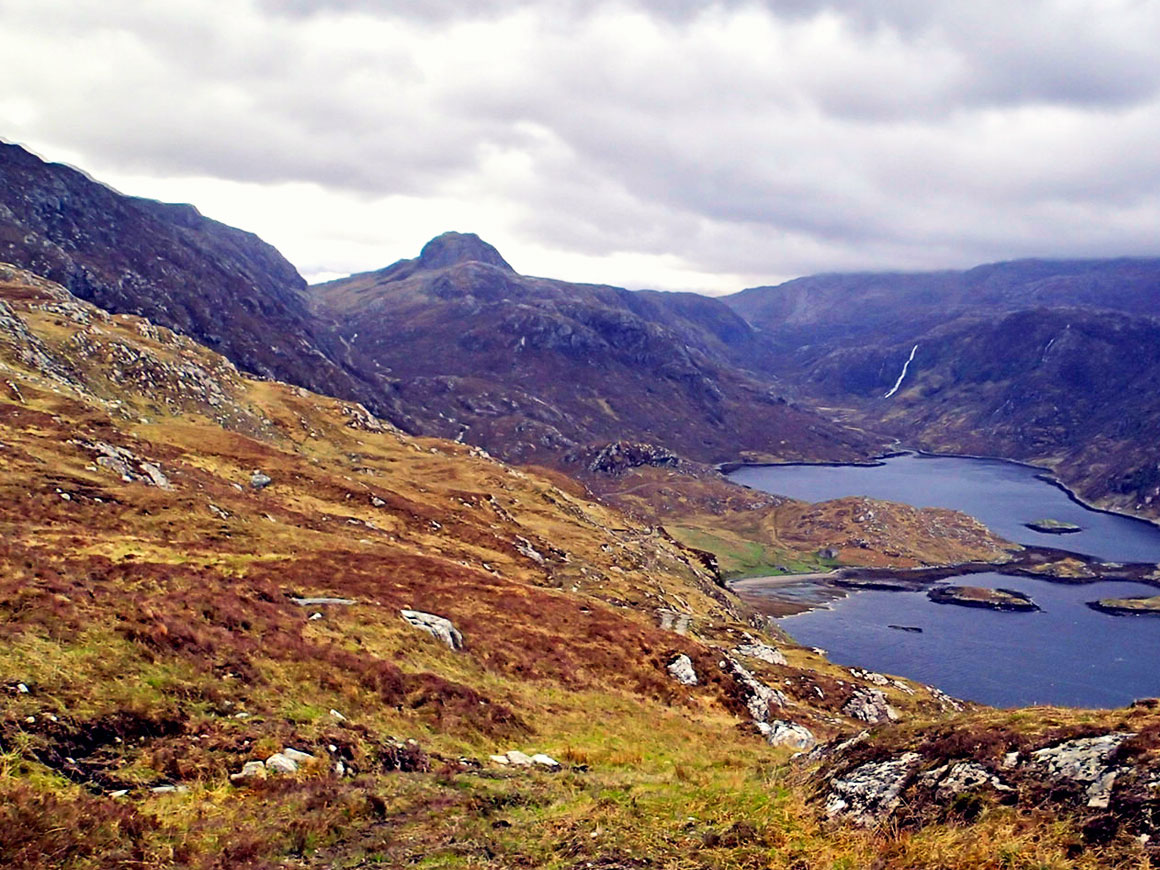
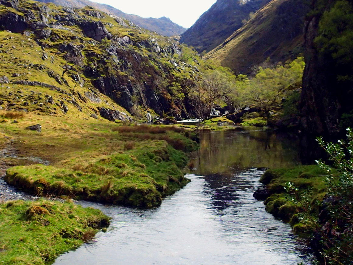
The CWT offers some of the most magnificent landscapes and views I have found in the British Isles, but to gain access to them you must endure wet and demanding underfoot conditions, rapidly changing weather, exposure to the elements and a vast emptiness that is rare to find the UK anymore. The ever changing route crosses Lochaber, Knoydart, Applecross, Torridon, vast parts of Wester Ross, Assynt and Sutherland – all areas of great beauty and majestic peaks.
This trail should only be undertaken by experienced walkers who have honed their walking, navigation and outdoors skills by now and are very comfortable with being outdoors in harsh conditions. The CWT is not a trail on which to learn those much needed outdoors skills and it is not a trail to take friends or relatives who would like to get a taste of the outdoors on – they might never try again.
The real challenge with the CWT is that it crosses the Scottish Highlands: one of the last wild areas in the British Isles
Gilad Nachmani
As much as the CWT is a long distance walk, it is not a trail you take to with a few maps and a guide book; it requires careful planning – from the walking route to food carrying to missing gear. The route can be walked in groups or solo, though it is most commonly done in pairs.
The CWT is one of those routes that become part of a bucket list or a “one day” kind of adventure – don’t let this happen. Unlike some other, better known and organised trails, the CWT is best enjoyed when you are actually out there, coming to terms with the weather and seeing the landscape. If you are unsure about the route, just plan your first section and you can always come back to it.

When planning to walk the Cape Wrath Trail you will quickly learn that information is scarce and a lot of pre-trip research is needed. There are also many decision to be made before even leaving that are beyond the standard long trail decisions, such as:
- Which route variation to take? Should you just make your own route?
- Will you be camping or will you plan on using a mix of bothies and commercial accommodation?
- To what extent will you allow the weather to decide your activity level? Will you be hunkering down every time the weather turns?
- How much food you will be able to carry and will you be sending resupply boxes?
All of these are very important decisions that are taken long before travel planning or gear updates begin; these are decisions that should be taken in the idea stage.
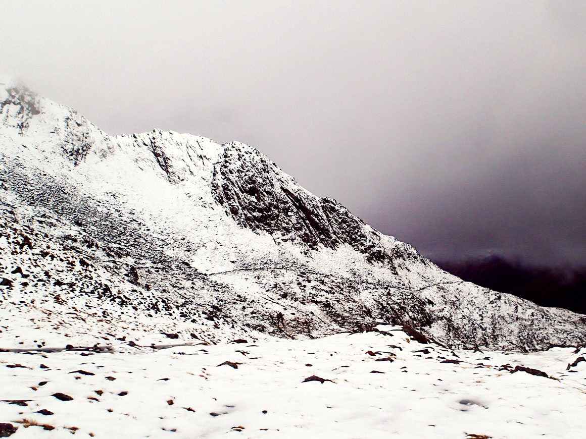
Some sections of the trail are very demanding and a good level of fitness is needed, especially when a heavy pack is added to the equation. You should be comfortable with long days on the hills, exposed to the elements and with very little shelter. Most sections have at least one climb over a bealach that can be very challenging, especially if there is snow present.
Lastly, the Cape Wrath Trail crosses the Scottish Highlands and as such has three major challenges: the weather, the fact that it is so remote and rarely travelled, and the critters (midges and ticks). If you have no past experience hiking in Scotland it is recommended to try a couple of easier trails such as the West Highland Way or the Affric Kintail Way; both are easier to walk, less demanding and are well marked. They will also help prepare you for the CWT, and your ability to handle the first and last of the three big challenges.
The CWT is an incredible route – beautiful, tough and truly unique. With the right planning, training and a huge amount of commitment, it is also doable and enjoyable as a trip of a lifetime.
About Gilad Nachmani
Gilad Nachmani is the creator of the Outdoor Father blog, a guide for people who want to make the most of their limited time with some epic adventures.
His primary interest is ultrapacking – long distance, fast multi-day self supported trips, including the Cape Wrath Trail – you can see more about how he took it on twice – in 2015 and 2016 on his blog.
You can find Gilad on his website, on Twitter as @OutdoorsFather or on Facebook.
Get The Cape Wrath Trail Planning Guide
All images © Gilad Nachmani
