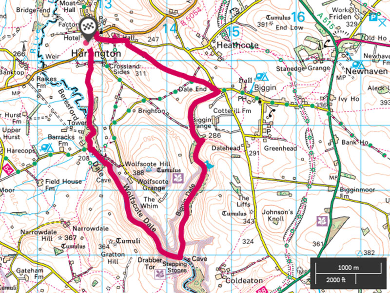
Dovedale is a honey pot for the Peak District and attracting hundreds of thousands of visitors every year. This 10km circular walk gives you all the pleasures of upper Dovedale, starting and ending in the charming Peak District village of Hartington but without the crowds of Dovedale.
The walk starts from the pay and display car park on your left just as you enter the village when travelling from Hulme End along the B5054. Turn left out of the car park towards the centre of the village noting the Pottery shed and public toilets 50 metres down on your right.
Our route will bring you along a footpath at the back of these toilets emerging into the small car park for the pottery shed.
Carry on through the centre of the village passing the Post Office on your left and the general store on your right. In about 30 meters turn right up the road signposted for the Youth Hostel. Follow this road around to your left always gradually climbing, passing the Youth Hostel on your left after about 200 metres.
Ignore the footpath sign for Wolfscote Dale and continue on for about another 150 metres.
Turn right onto a walled lane near a stone barn; you will soon have good views to your right over the upper Dovedale Valley and towards the hills that follow the former Manifold Valley railway track. Keep on this lane for approximately 2 km ignoring all turnings until you come to the small hamlet of Dale End and then turn right onto the tarmac road heading towards Biggin.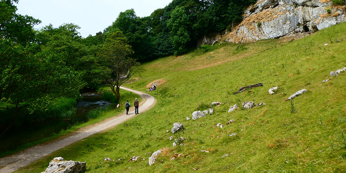
Within 30 metres or so turn right onto the footpath leading down into Biggin Dale. This narrow (mainly) dry dale is a lovely quiet walk. With occasional patches of stone and hawthorn bushes to meander around.
After around 800 metres you will see a drystone wall running across your path from left to right. As you get very near to the wall look left and slightly back to see a gate. Go through this and turn immediately right on the path that is on the opposite side of the wall you had first looked at. Follow this path further into Biggin Dale with more stone and hawthorn to meander through.
The path continues for another 2-3km. Eventually after the twists and turns of the dale you will see high exposed rocks in front of you. These are Peaseland Rocks on the far bank of the River Dove.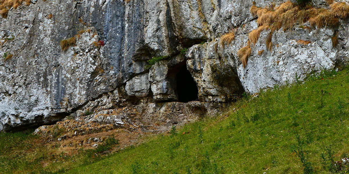
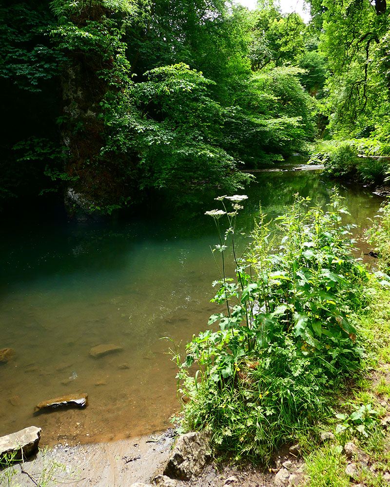
At the T junction of the paths with the river straight ahead turn right into Wolfscote Dale and keep the river on your left.
There are plenty of places to sit or admire the young River Dove as it cascades over small weirs created for fishing; this was, after all, the river used by Izaak Walton for part of his seminal work “The Compleat Angler” together with his friend Charles Cotton.
Walk upstream admiring the river and the limestone rocks exposed in the Dale until you see a small cave up on your right and then come to a footbridge near a few Scots Pine trees. Near this bridge are a couple of stiles.
Pass through these into the field beyond with the river bending slightly away to your left. Continue through this field until you reach another footbridge with some stepping stones and a ford from the tarmac road (that stops here) on the opposite bank of the river.
Cross the footbridge and turn immediately right this time with the river on your right. You are now in the very short but exquisite Beresford Dale.
Wander up the level path until you come to a large spire of rock in the middle of the young river.
This is Pike Pool.
Cross the river by the footbridge immediately after the rock spire and pool and turn left on the footpath. The path now leaves the river to your left and skirts some woodland for 150 metres.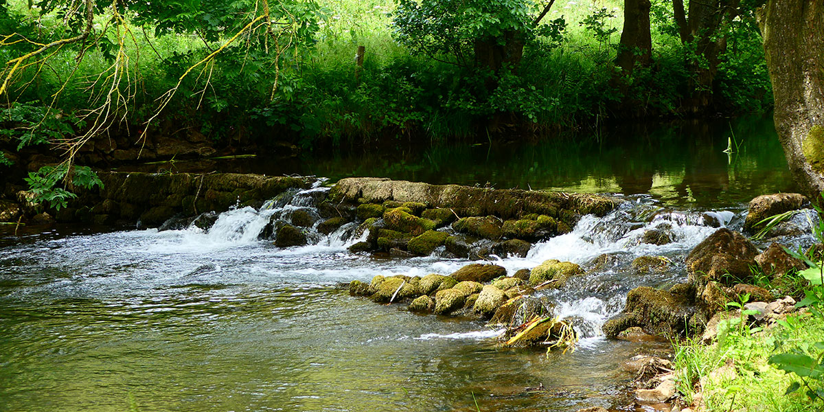
Pass through the stone crush stile into the field beyond.
Continue through the fields on the clear path through gates and stiles. At Crossland Sides pass through the gate and step down into and across the walled farm track and up through the next stile.
Keep to the path with drystone walls to your left angling right as you approach the rear of buildings on the outskirts of Hartington. Turn left and by the side of the toilets noted at the start and go down a couple of concrete steps into the Pottery shed car park and back onto the main road.
Turn left back to the car park 50 metres further on your right.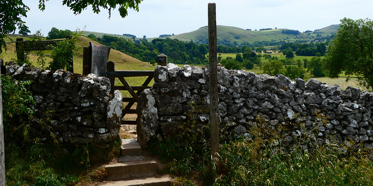
If time permits change your boots and wander back into Hartington for a little explore where you will find antique shops, a pub or two, a duck pond and cheese factory shop among other delights.
