Peak District

Published on 1 min read

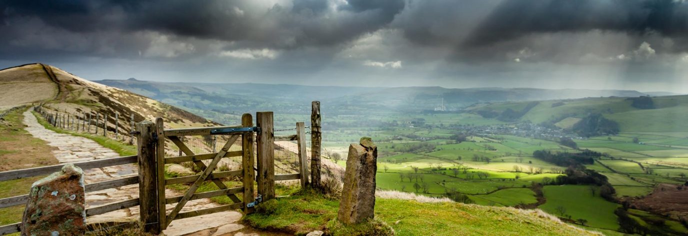
Banner Peak District

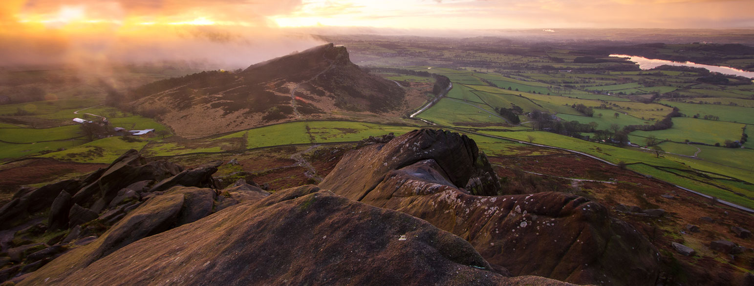
The Peak District National Park includes the Dark Peak and the White Peak, named after their distinctive colours from the gritstone and limestone that make them, and is the oldest national park (created in 1951).

Despite the name, there are few mountains – the tallest, Kinder Scout, is just 636m (2087 ft). However, there are some amazingly scenic hills to climb, while the high moorlands create unique wildlife habitats.

The sedimentary rocks that make up most of the area are soft and easily worn away by water, which has led to some stunning caving opportunities, the most famous of which is probably the Blue John Cavern.
Top Peak District National Park articles

Read more
A range of mountains over the lake

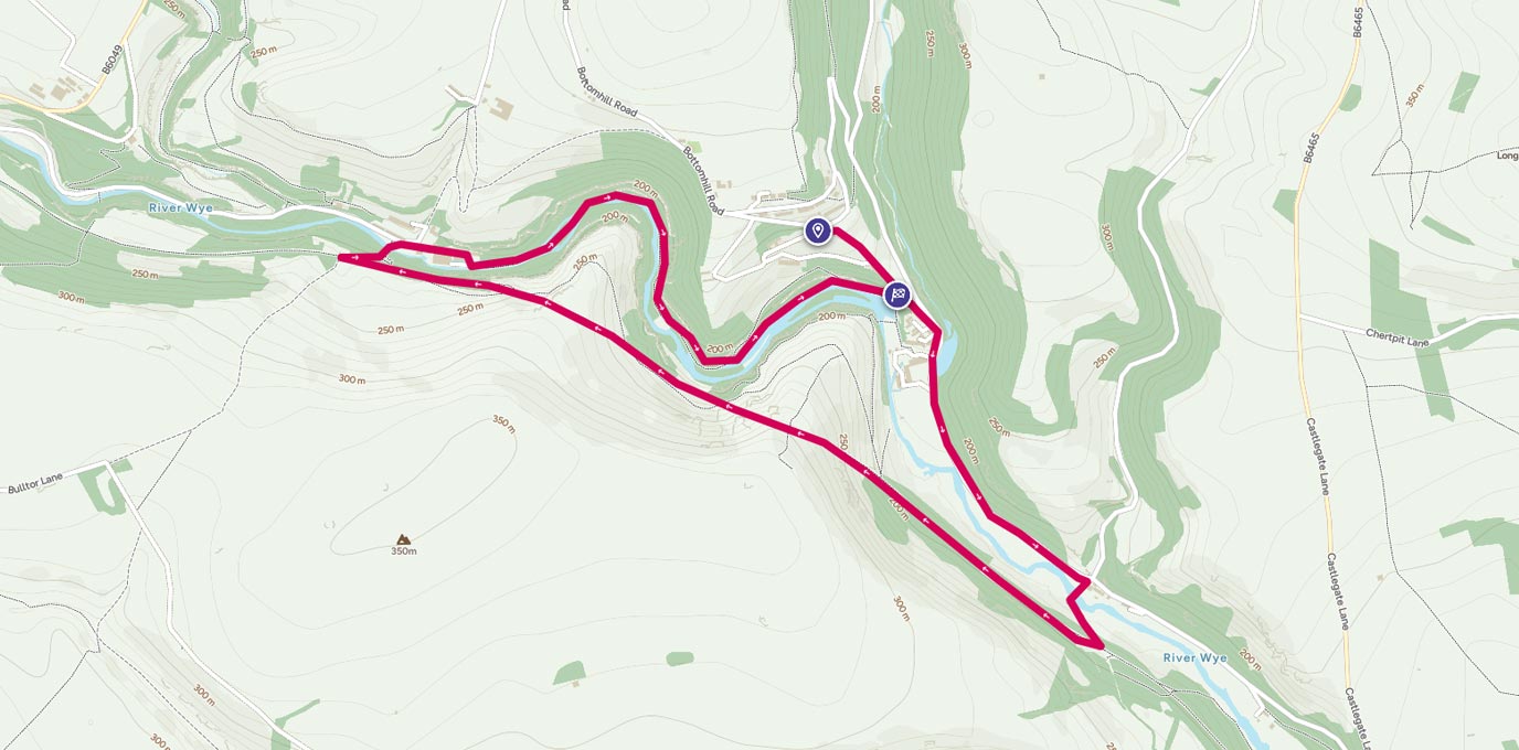
Wolfscote Dale and Beresford Dale from Hartington

September 11, 2018
4 min read

Dovedale is a honey pot for the Peak District and attracting hundreds of thousands of visitors every year. This 10km circular walk gives you all the pleasures of upper Dovedale, starting and ending in the charming Peak District village of Hartington but without the crowds of Dovedale.

Read more
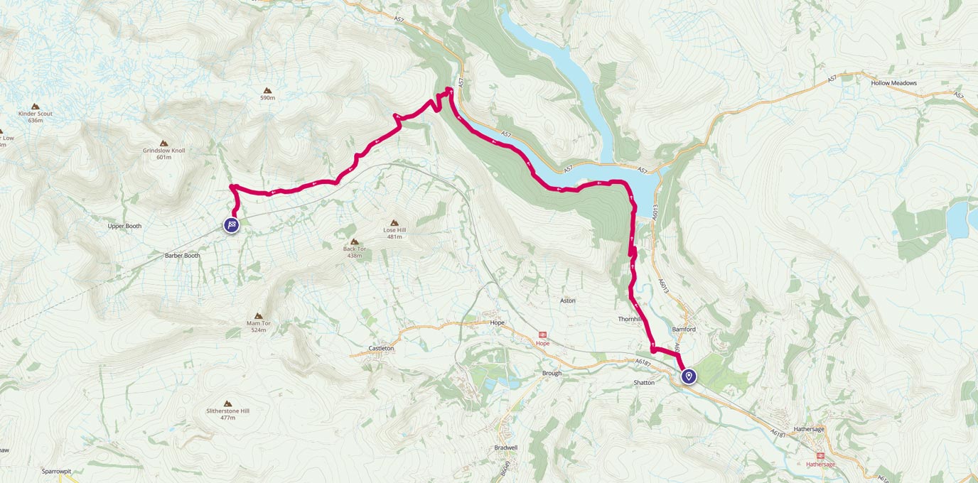
Bamford to Edale, via Ladybower route line on map

Bamford to Edale, via Ladybower

April 8, 2024
3 min read

OS GetOutside Champion team, TwoTravlrs explore Ladybower Reservoir, one of the more popular reservoirs to visit in the Peak District.

Read more
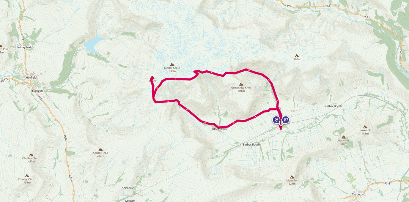
Kinder Scout walking route line on map

Kinder walk from Edale

April 8, 2024
5 min read

​In middle England we are blessed to have a huge range of walking opportunities available to us, and the Peak District is an excellent place to start if you have not explored this area before. One of my favourite places to head for hill walk is Edale, where the famous Pennine Way starts/finishes, and where you have easy access to Kinder Scout, Mam Tor, and a huge number of other walks with great views.

Read more

3 of the best walks around dark peak

September 30, 2016
7 min read

The Dark Peak is home to some of the most iconic views in the Peak District. Discover 3 of the best, and follow the routes when you’re out.

Read more
Cressbrook route map

Who has a walking wedding?

September 7, 2016
3 min read

#GetOutside Champion, Stef Jackson-Horner, knew that a big white wedding wasn’t for her and her fiancé; what they wanted was a walking wedding. Find out how the big day went and how you go about preparing for such an event in the British outdoors!

Read more
Walking The Ridge to conquer Mam Tor route on map

Walking The Ridge to conquer Mam Tor

August 25, 2016
5 min read

A circular walking route from Castleton in the Peak District around Lose Hill, Hollins Cross and Mam Tor

EXPLORE WITH

OS Maps

Get more from the outdoors with OS Maps. Whether you’re planning a mountain hike, taking the kids for a woodland bike ride, or looking to discover a new local adventure, OS Maps helps you explore with more confidence.

Discover thousands of ready-made routes from outdoor experts; view & download maps directly to your phone, or print from your computer.
With trusted mapping, route planning tools & features, created by Ordnance Survey; OS Maps helps you make the most of your time outside.

Launch OS Maps
digital-maps-2

EXPLORE THE

OS Shop

OS is uniquely positioned to select the best and most trusted outdoor brands, offering an exciting range of essential UK maps and outdoor gear, as well as great custom gifts for the outdoor adventurers in your life.

Go to the shop
Ordnance Survey Shop outdoor equipment